

The Coach Self-Indulgence Page
 | ||||


The Coach Self-Indulgence Page


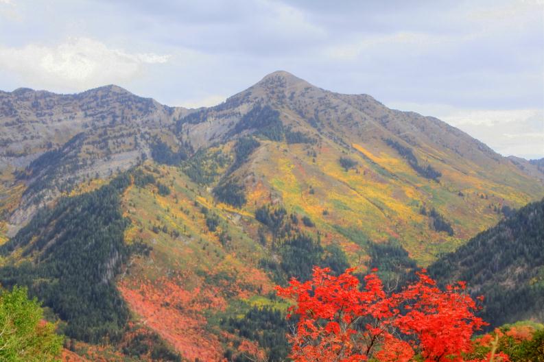
Spring was unusually wet, summer abnormally cool, which brought extraordinary vivid colors for autumn. It was been so nice that we wanted to share some of them with you; but selecting which pictures to feature is difficult.
Some of these we took ourselves, others came from other local photographers, but the net effect is a view of Utah Valley and the surrounding mountains. We won't show much of the cities - none is major anyway: Provo has 115,000 inhabitants and everything else is much smaller. Regardless, the population increases too rapidly for our taste, but then understandably so, when this is what the surroundings look like.
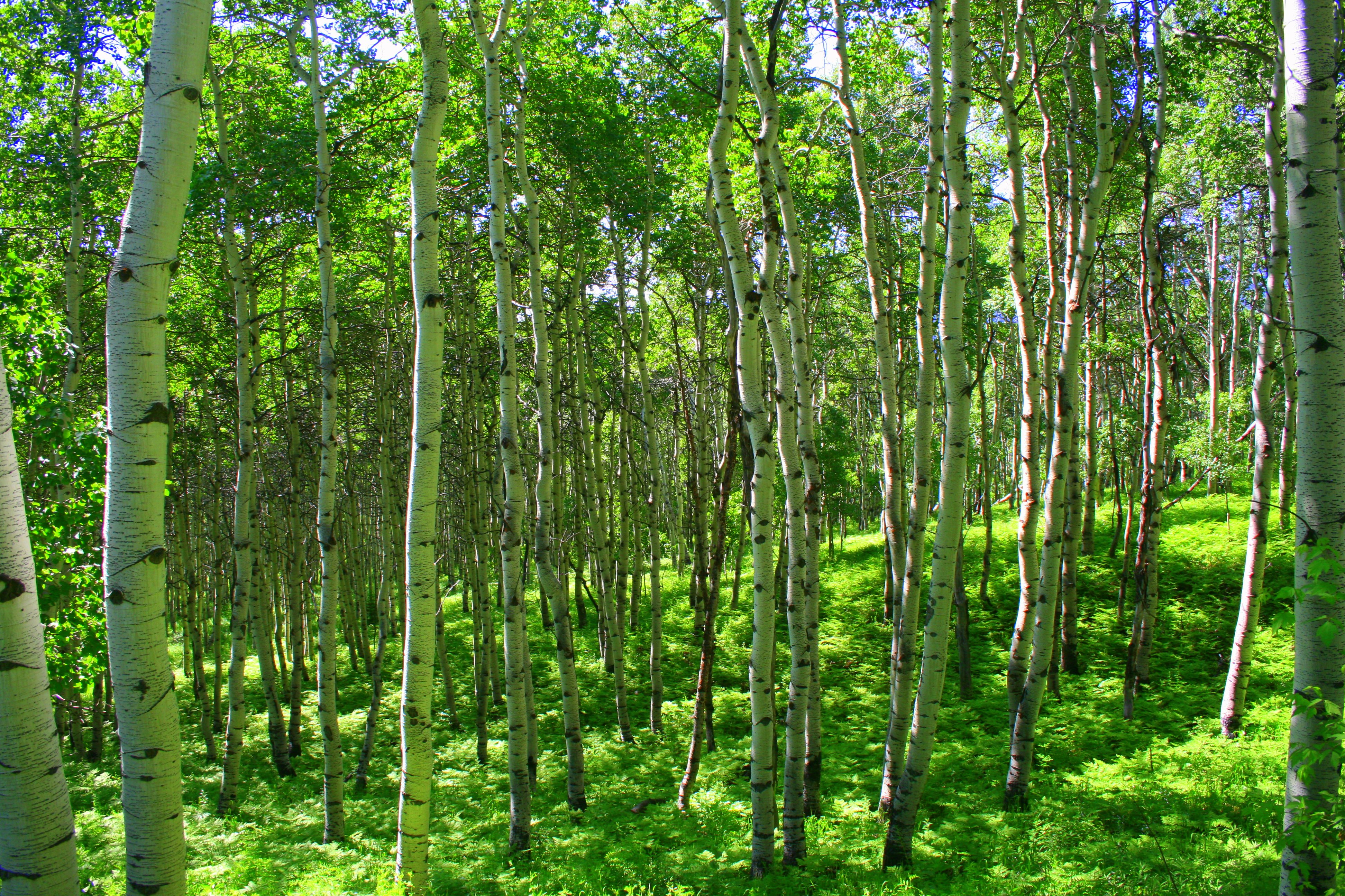
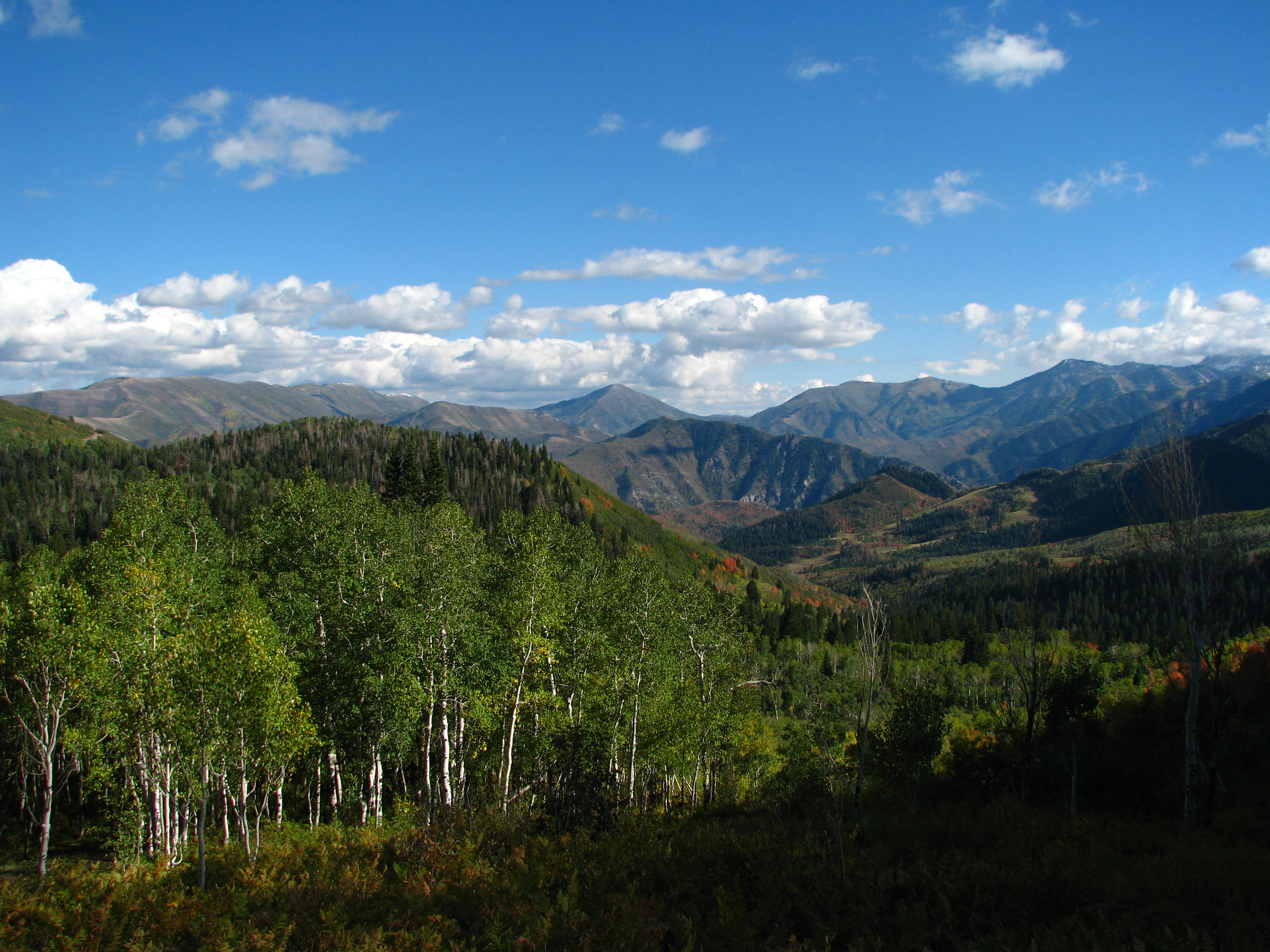
Not every photo here was taken in the fall: autumn is just our motivation to create this page.
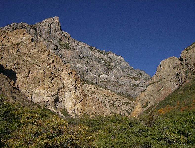
Provo Peak from the Rock Canyon Trail. The trail originates on the east side of Provo; a couple hours of easy hiking, and here you are.
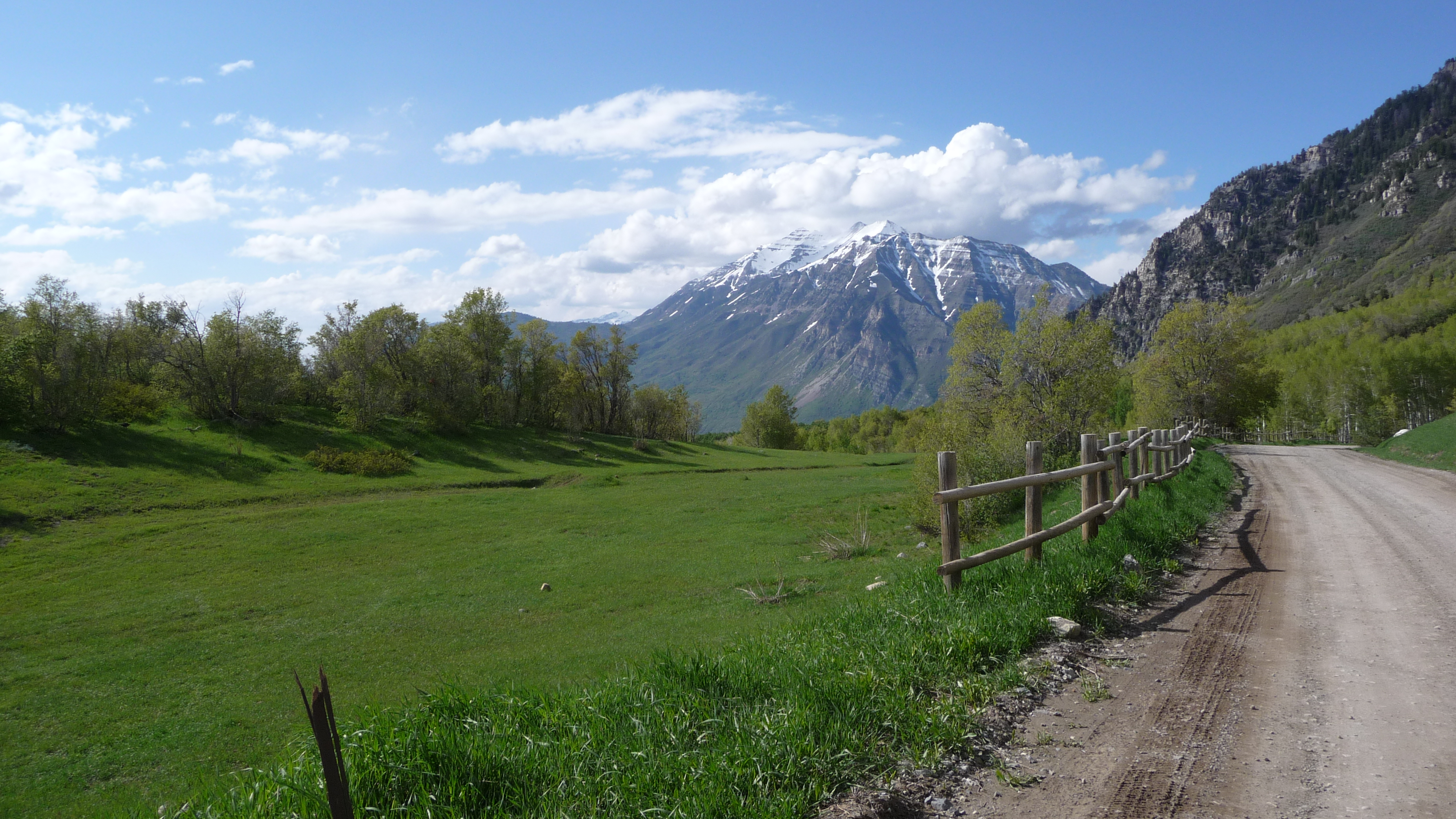


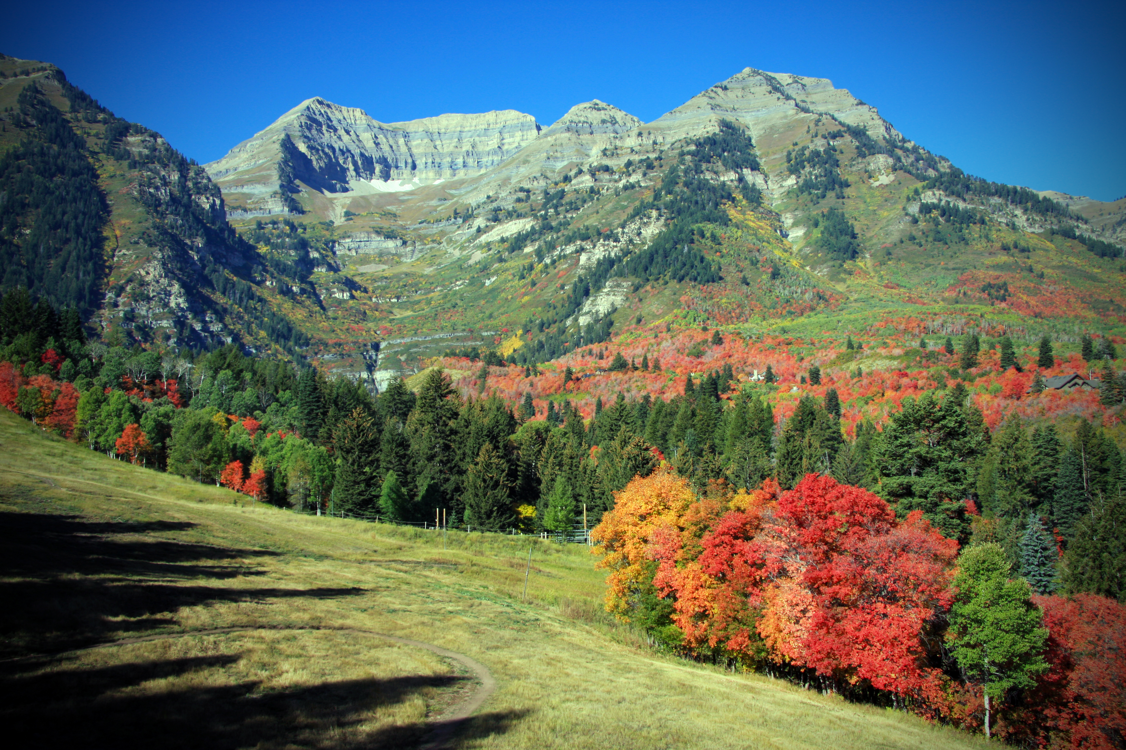
Mt Timpanogos (11,749 feet [3,582 m]) north face from Robert Redford's Sundance Ski Resort.
Looking toward Rock Canyon from the Edgemont area of Provo - leaves just starting to turn.
The summit of Timp (Mount Timpanogos) from the Aspen Grove recreational area..
Looking from the north slope of Timpanogos looking toward the northeast.
The south face of Mount Timpanogos as seen from Provo
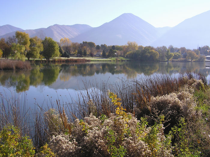
Utah Valley at Salem Pond
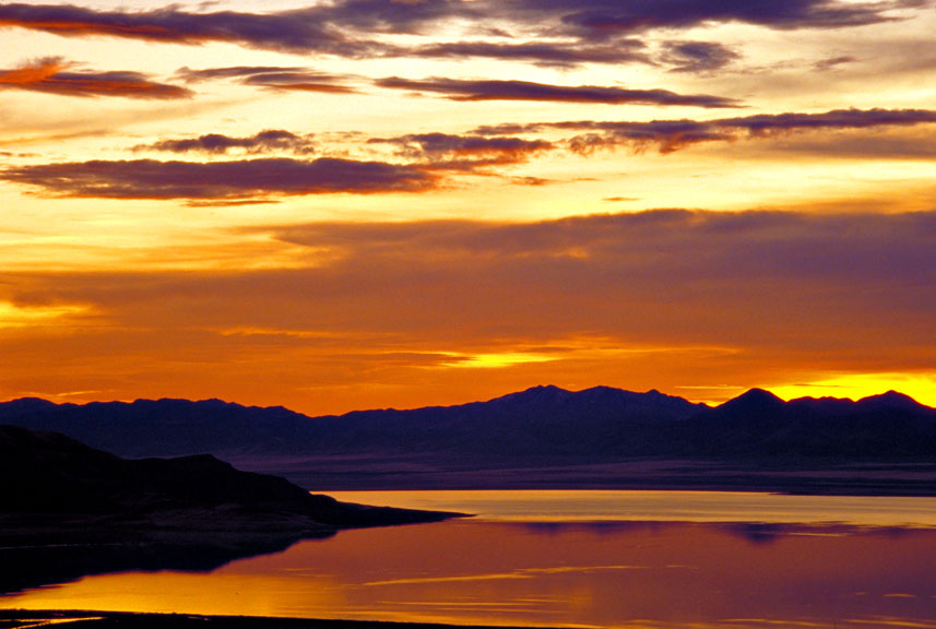
Sunset over Utah Lake near Provo
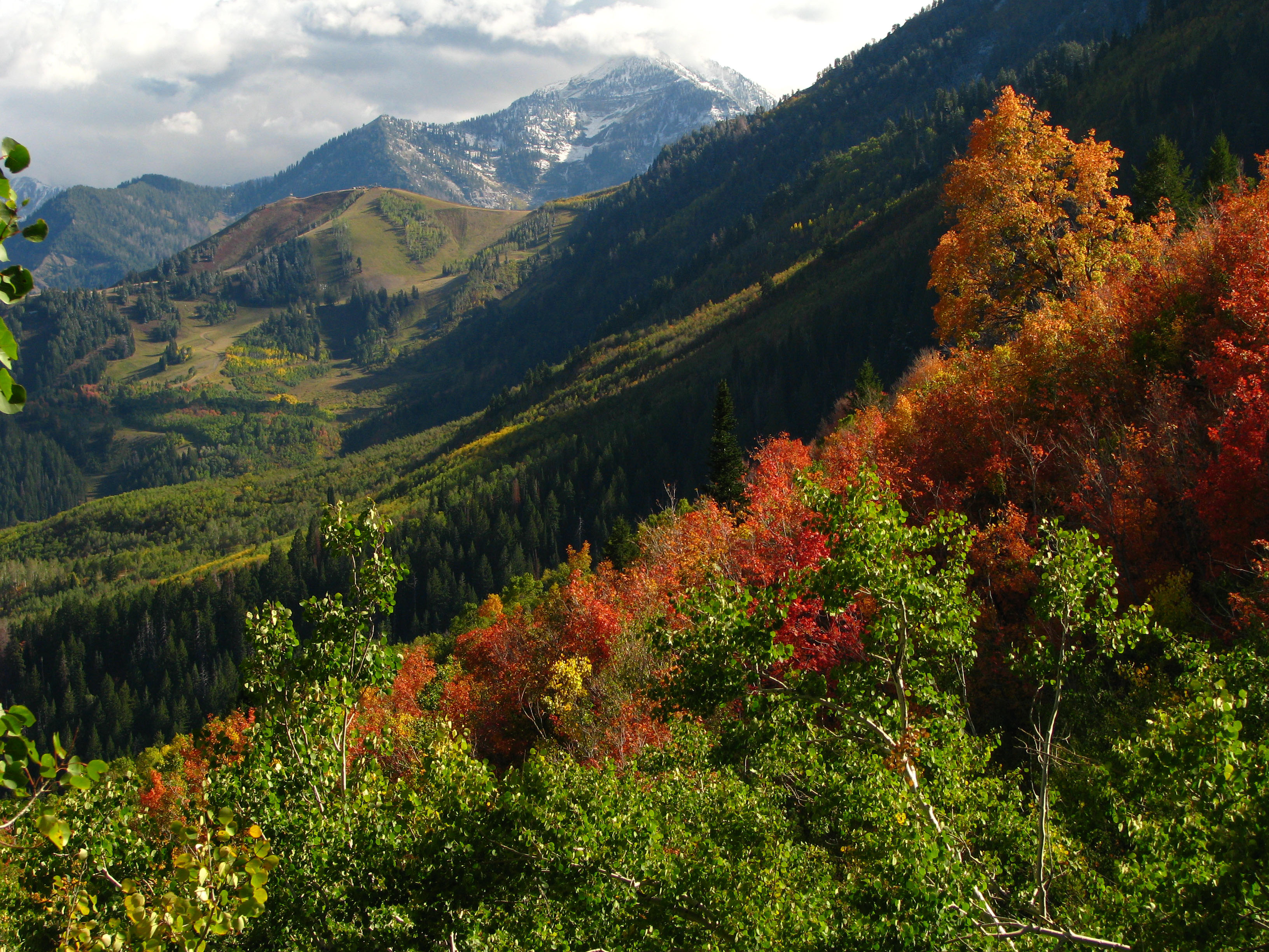
Early autumn is just an extension of summer; other than the occasional monsoon from the Gulf of California, not much rain falls, and the oak leaves on the foothills start turning red, wtarting from the top and working down until by the middle of October, everything is affected.
Any precipitation stays at higher elevations as snow: by mid-December, all of Timpanogas will be covered.
The Wasatch Mountain Range stretches close to 160 miles (260 km) from the Utah-Idaho border south to central Utah This chain represents the western edge of the greater Rocky Mountains, as well as the eastern edge of the Great Basin region.
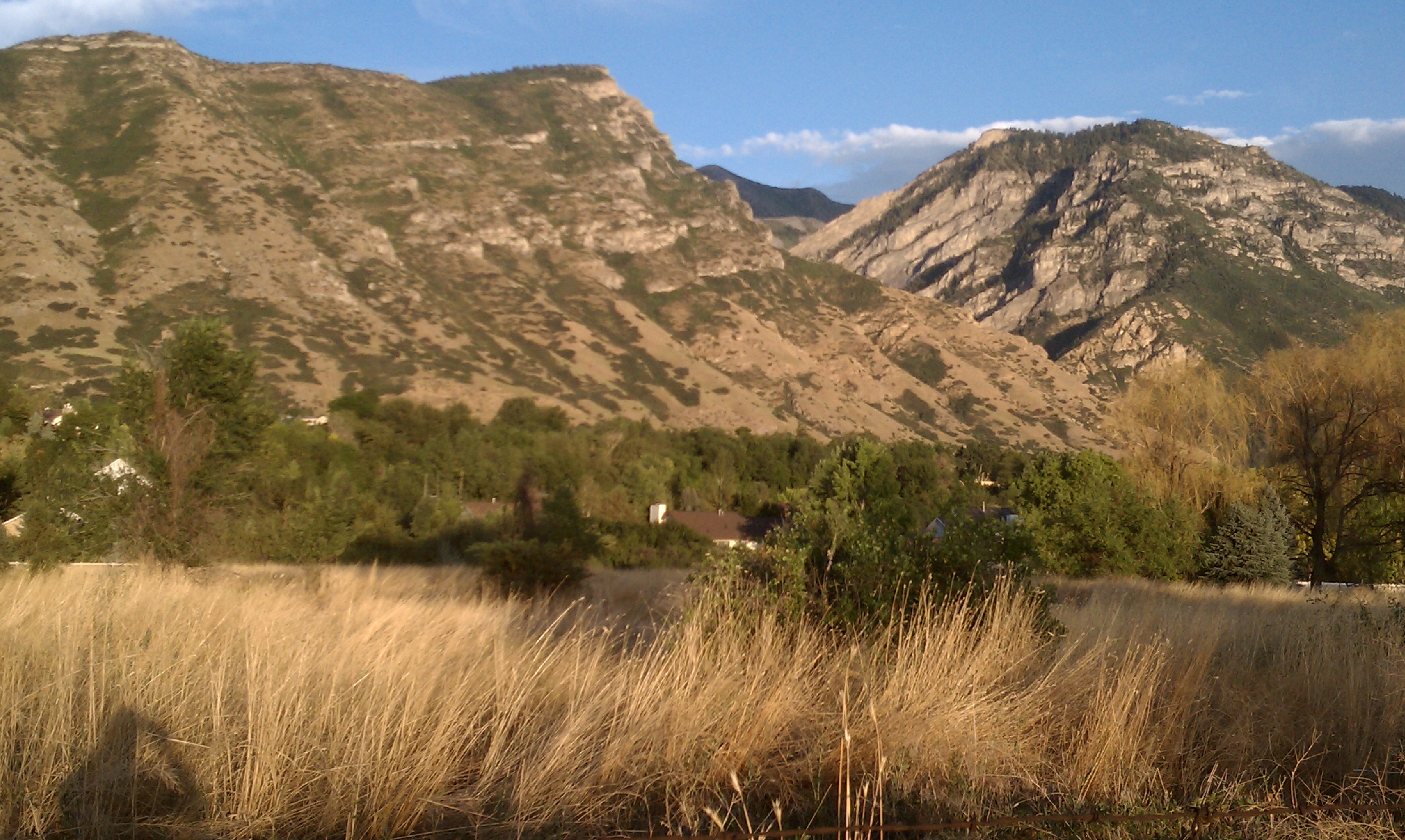
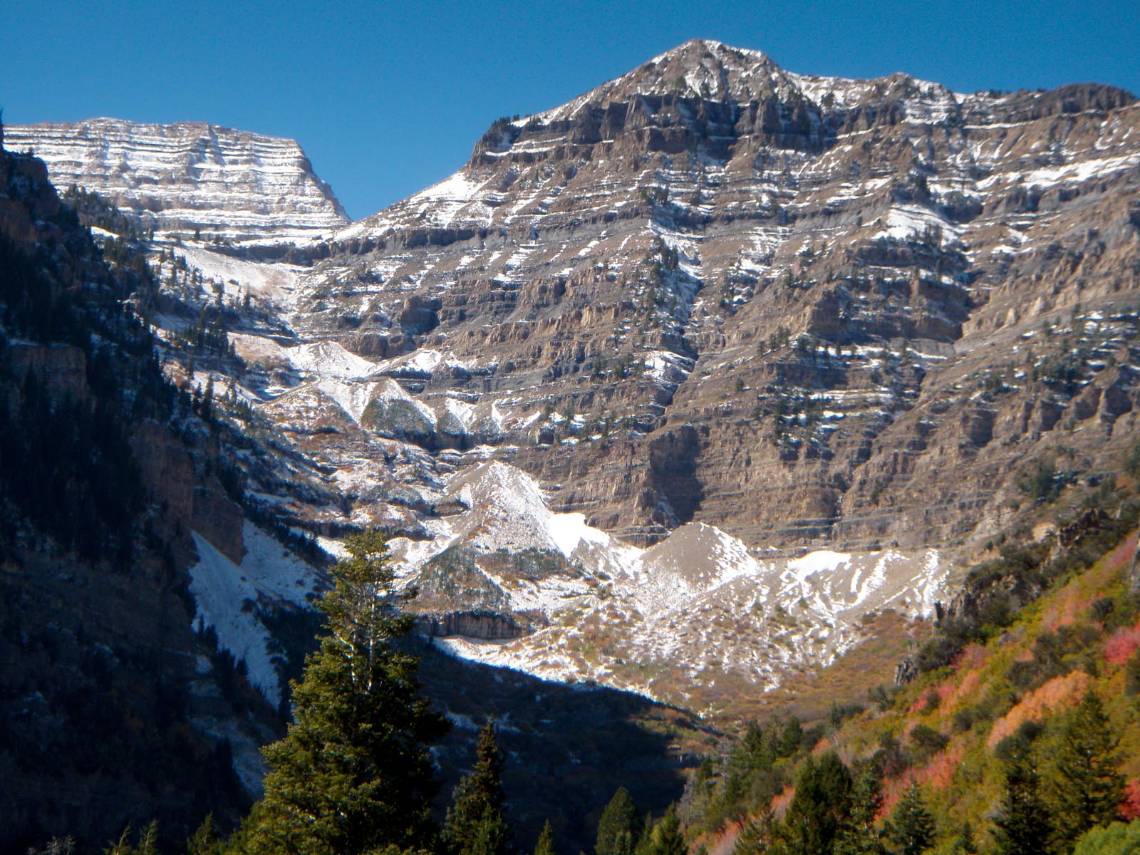
At 11,752 feet (3,582 m) elevation, Mount Timpanogos dominates the horizon on the northeast edge of Utah Valley. Mount Nebo marks the south end of Utah Valley with its 11,928 feet (3,646 m) -the highest peak of the Wasatch Range. In many places the mountains rise immediately from the valley's base elevation of 4,330 feet (1,320 m), producing steep inclines.
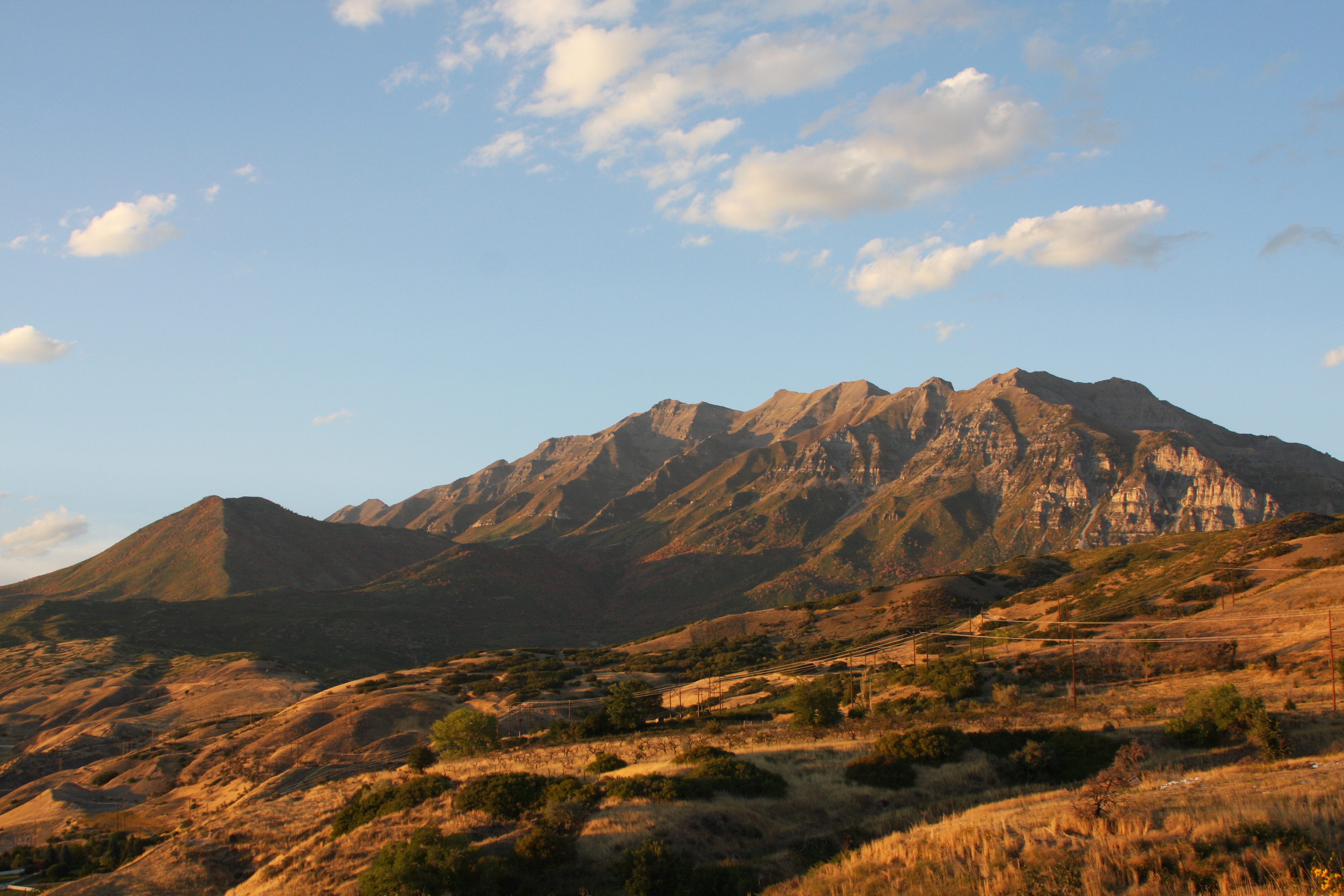
But from any angle, Mount Timpanogos stands as the primary landmark for Utah Valley to its south and Heber Valley to its north. This is despite the fact that both Provo Peak (11,068 feet), at the top of Rock Canyon straight east from the central part of the valley at Provo, and Mount Nebo to the south either compete with it or exceed it in height.

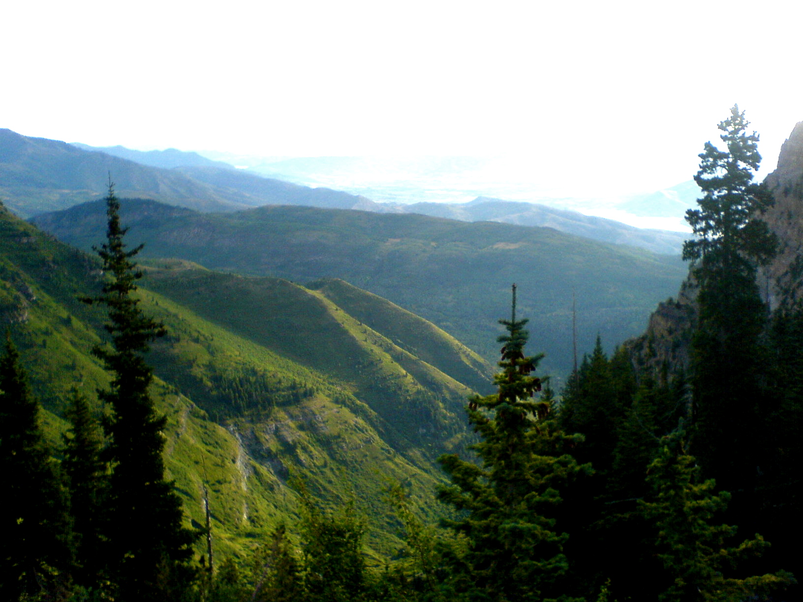
From Mount Timpanogos toward the east.
Father Silvestre Velez de Escalante, a Spanish Franciscan missionary-explorer, is considered the first European explorer to have visited the area, in 1776. Escalante chronicled this first European exploration across the Great Basin desert.
The word Timpanogos comes from the Timpanogots tribe who lived in the surrounding valleys from AD 1400. The name translates as rock (tumpi-), and water mouth or canyon (panogos).
The name "Utah" is derived from the name of the Ute tribe and means "people of the mountains" in the Ute language.
The name, Provo, applied first to the river, which flows out of the Uintah Mountains eastward 70 miles into Utah Lake. It also applies to the canyon through which it flows from the Heber Valley to the Utah Valley.
Provo is the third largest city in the state of Utah, located about 43 miles (69 km) south of Salt Lake City along the Wasatch Front. The first settlement was originally called Fort Utah when it was settled in 1849 by 33 Mormon families from Salt Lake City, but was renamed Provo in 1850 for Étienne Provost, an early French-Canadian trapper who arrived in the region in 1825.
Provo is the county seat of Utah County and lies between the cities of Orem to the north and Springville to the south. With a population of 112,488, Provo is also the principal city in the Provo-Orem metropolitan area, which has an estimated population of 526,810 residents. It is the third largest metro area in the state behind Salt Lake City and Ogden-Clearfield.
The city is home to Brigham Young University, one of the largest private higher education institutions in the United States, which is operated by The Church of Jesus Christ of Latter-day Saints. Provo is also home to the largest Missionary Training Center for the LDS church. The city is a key operational center for Novell and has been a focus area for technology development in Utah. The city is also home to the Peaks Ice Arena, which served as a venue for the Salt Lake City Winter Olympics in 2002. Sundance Resort is located 13 miles northeast at Provo Canyon.
In 2009, Provo was listed in "Where to Retire" magazine as an "enticing city for new careers." Provo was also listed in National Geographic Adventure Magazine's "where to live and play" as a cultural hub.[6] In 2010 Forbes rated Provo one of the top 10 places to raise a family.
The Aspen Grove recreational area on the north slope of Mount Timpanogos

Early hints of fall colors: From Timpanogos looking toward the east.
Sunrise over Deer Creek and Jordanelle Lakes in the Heber Valley, northeast from Timpanogos
Bridal Veil Falls in Provo Canyon, north of Provo City between Timpanogas and Cascade Mountain is 607-foot-tall (185 m) high
Overview of Provo Canyon with the various layers of sedimentary rock which contain occasional fossils of various sea creatures - at a 7,000 to 10,000 foot elevation above sea level.
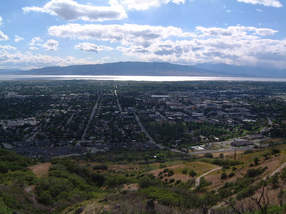
Looking westward across Provo toward Utah Lake; Brigham Young University is to the right.
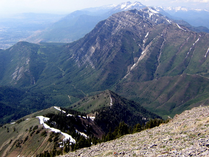
The northern part of Utah Valley from the summit of Provo Peak
From the top of Rock Canyon northward toward Mount Timpanogos
Rock Canyon from downtown Provo
These pictures are thumbnail size - just click to enlarge.